Services Detail
OVERVIEW
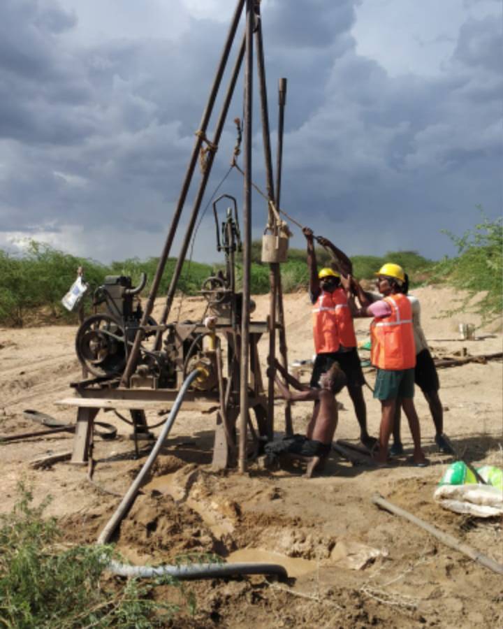
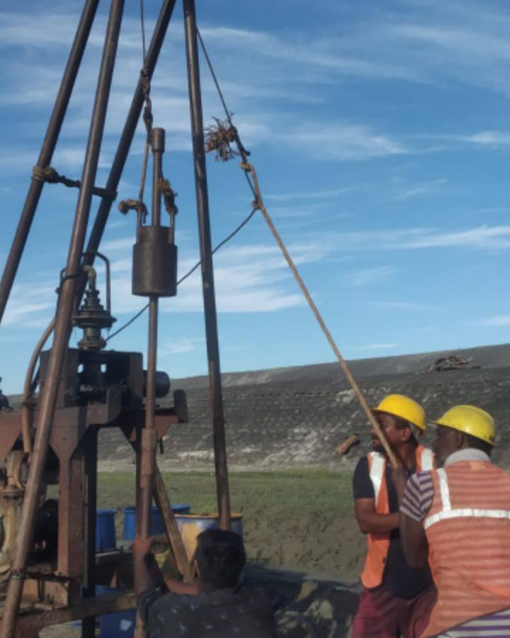
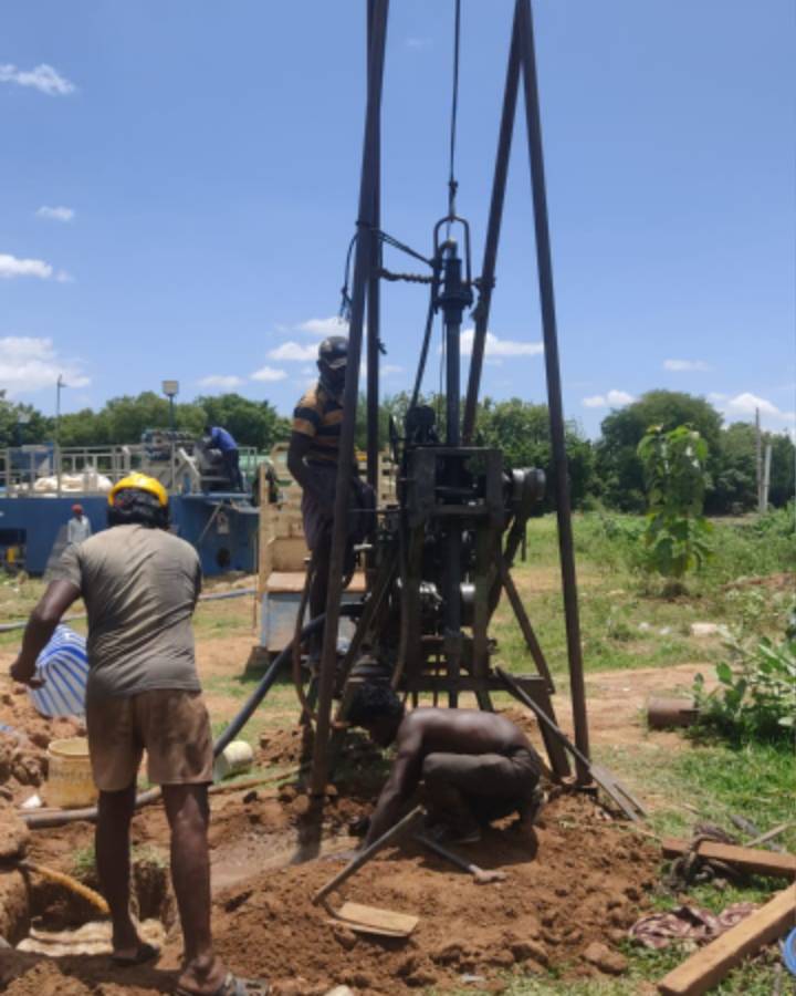
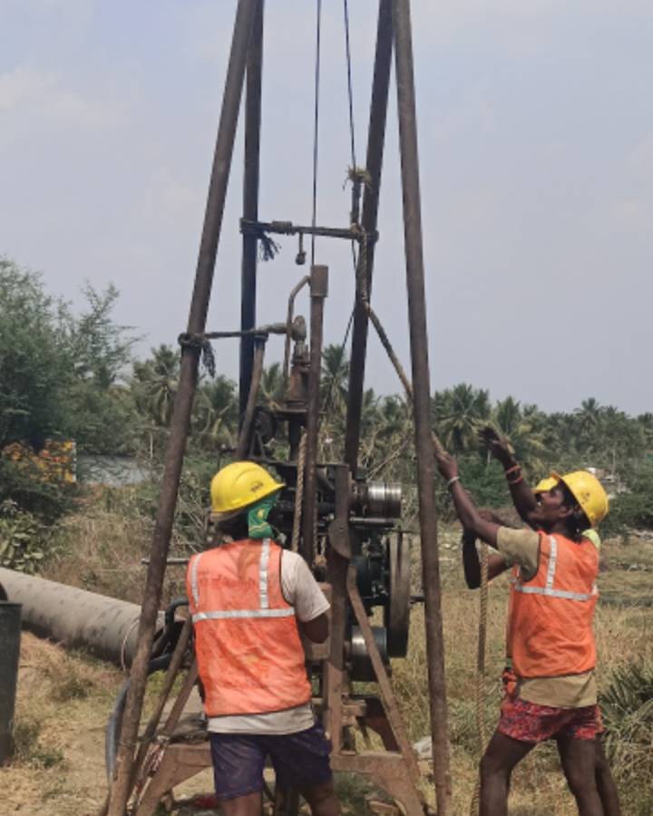
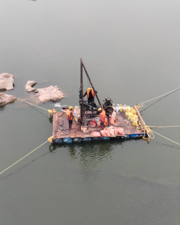
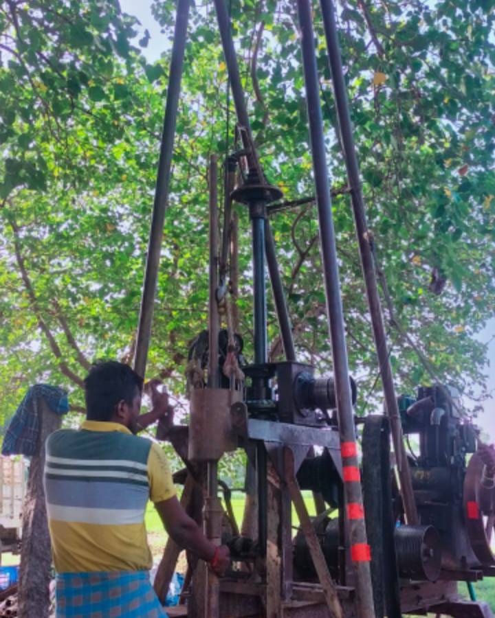
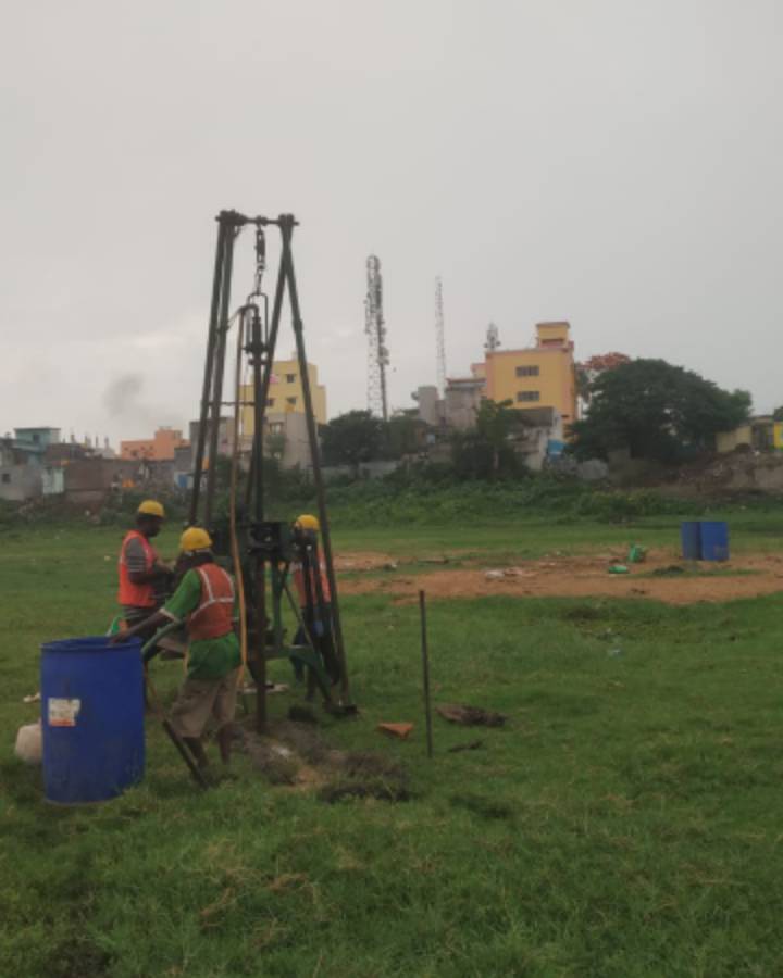
Topographical Hydrological Survey
This service involves mapping the surface features and water resources of a particular area. It includes measuring elevations, delineating land contours, identifying water bodies, and assessing drainage patterns. This survey provides valuable information for land development, water resource management, and environmental planning.
We specialize in the following:
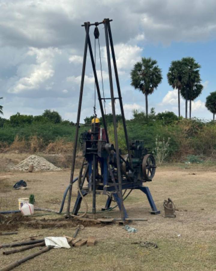
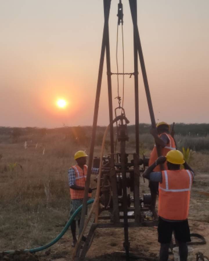
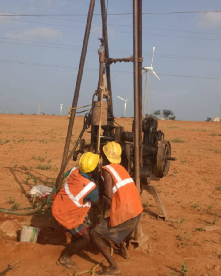
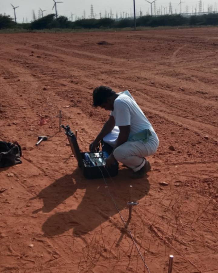
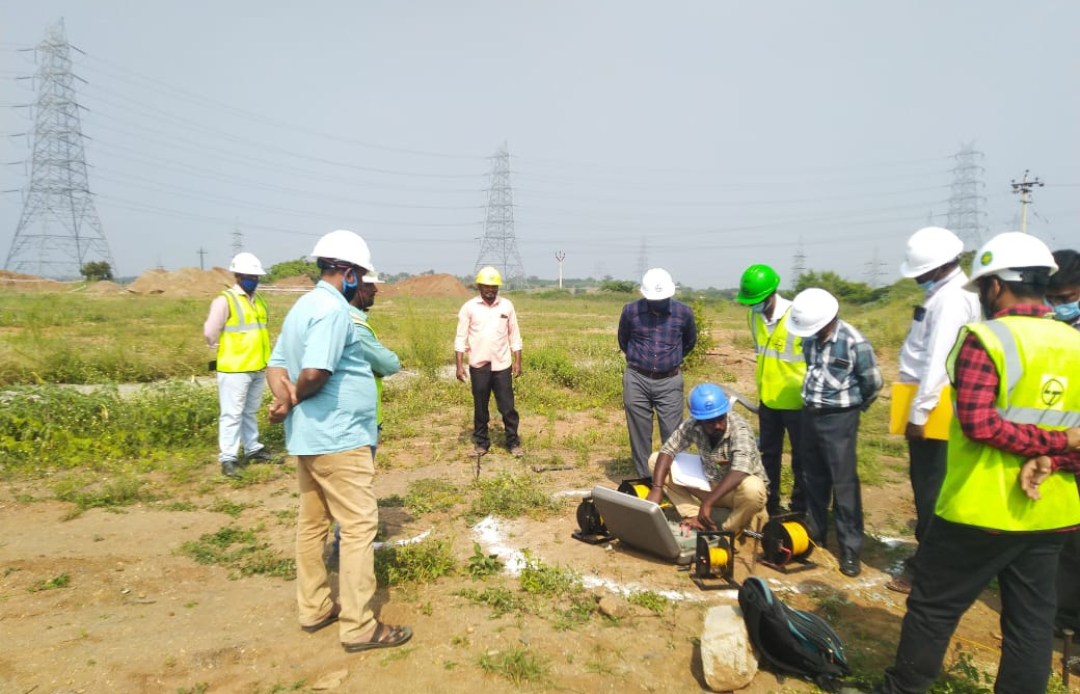
- VKP Geotech we are also doing Geophysical Exploration like
- Electrical Resistivity Test by Wenners Four Point method and Eight Point method
- Electrical Resistivity Imaging
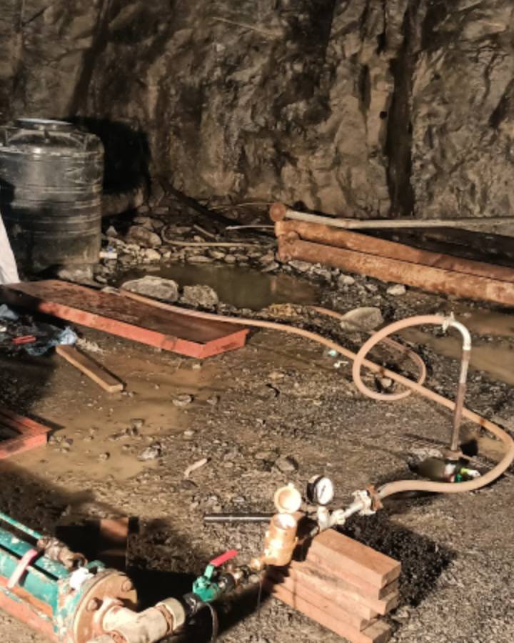
- Ground Water Analysis, etc
FEATURED
Why Choose Us?
We offer cost-effective and consistent quality services, backed by an NABL accredited laboratory for soil, rock, and building materials. Our solutions cater to small to large-scale projects, delivering effective and value-added results. With extensive experience serving public, private, and government sectors, we ensure on-time completion and stay updated with our customers. Our team comprises highly skilled and loyal workers dedicated to meeting your needs.